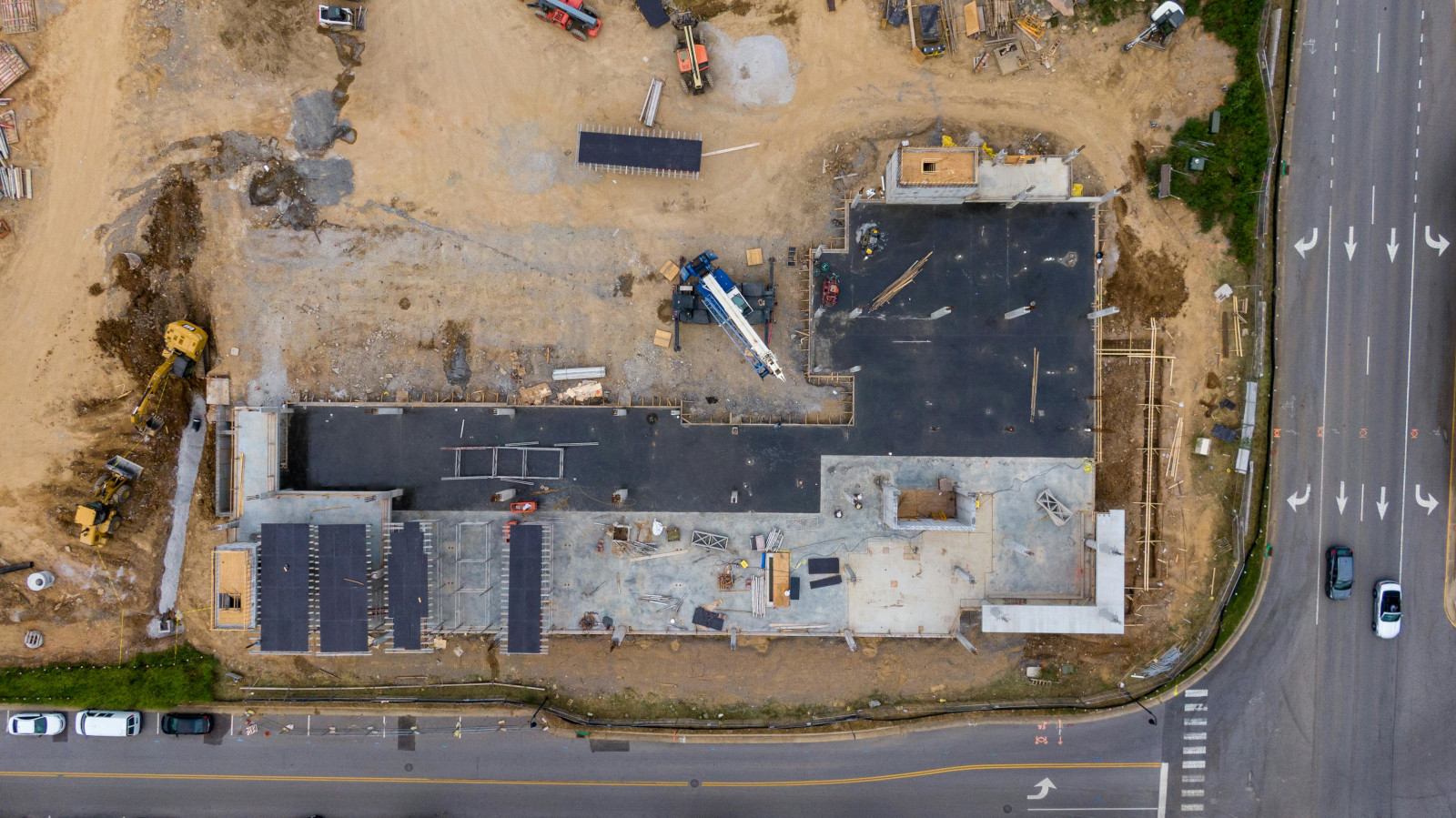
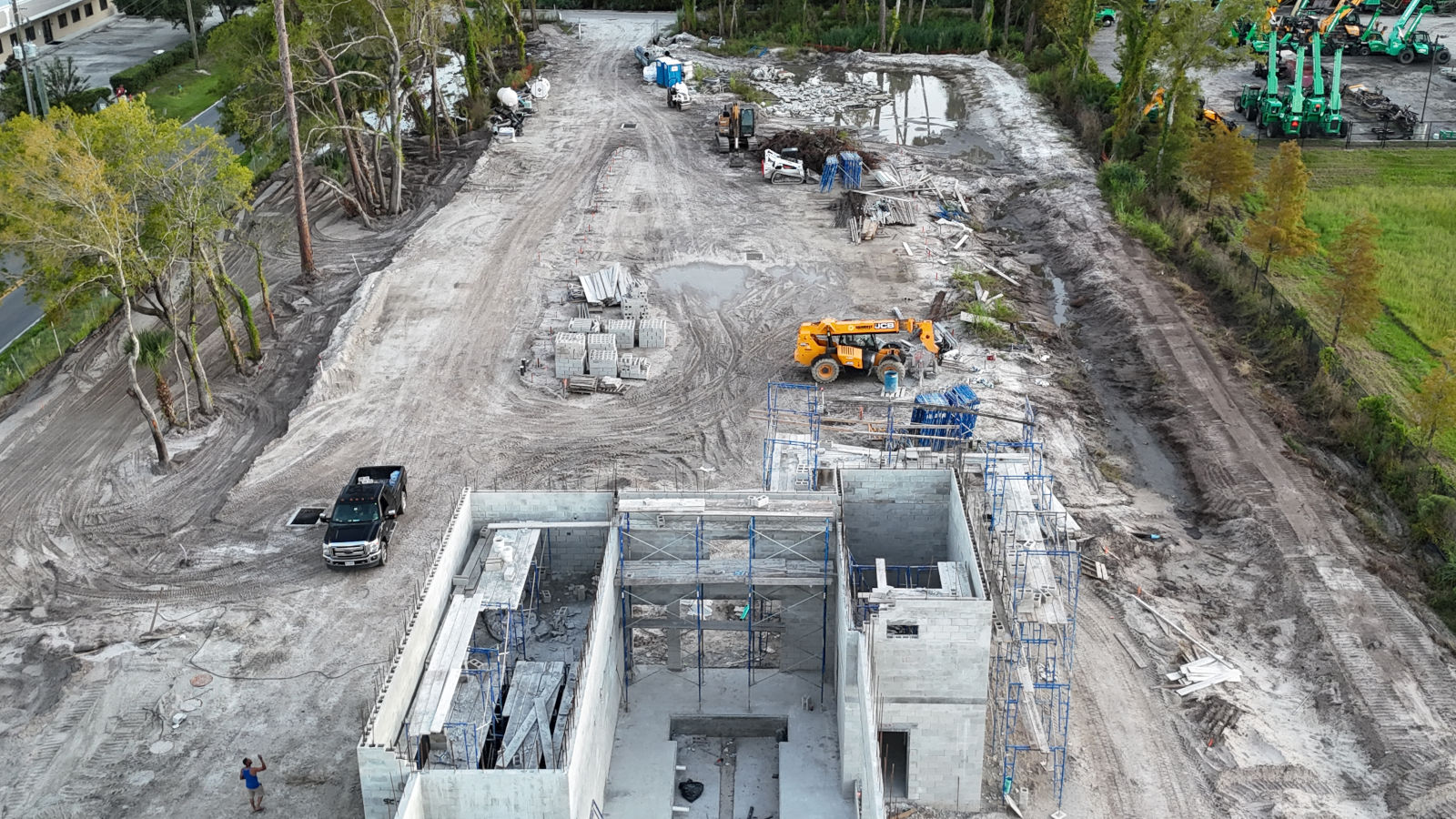
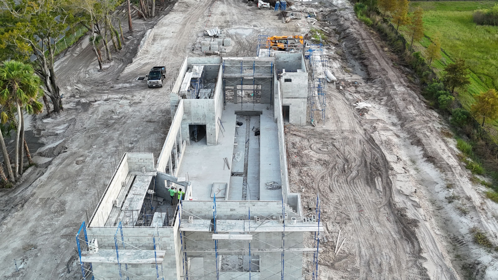
Capture every stage of your construction project with precise, high-definition aerial data. Drones provide full-site coverage, unique angles, and comprehensive visual documentation, giving project managers and stakeholders accurate insights into progress and site conditions. Monitor development consistently, track machinery and material movement, and provide verifiable evidence of completed work. Whether your project is on land or over water, aerial imagery ensures efficiency, clarity, and actionable data for every phase of construction.