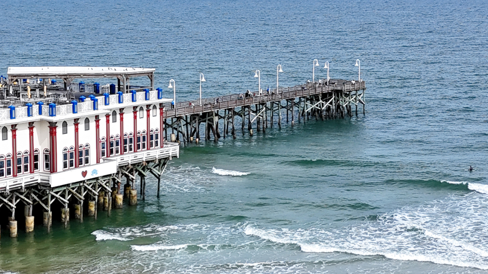
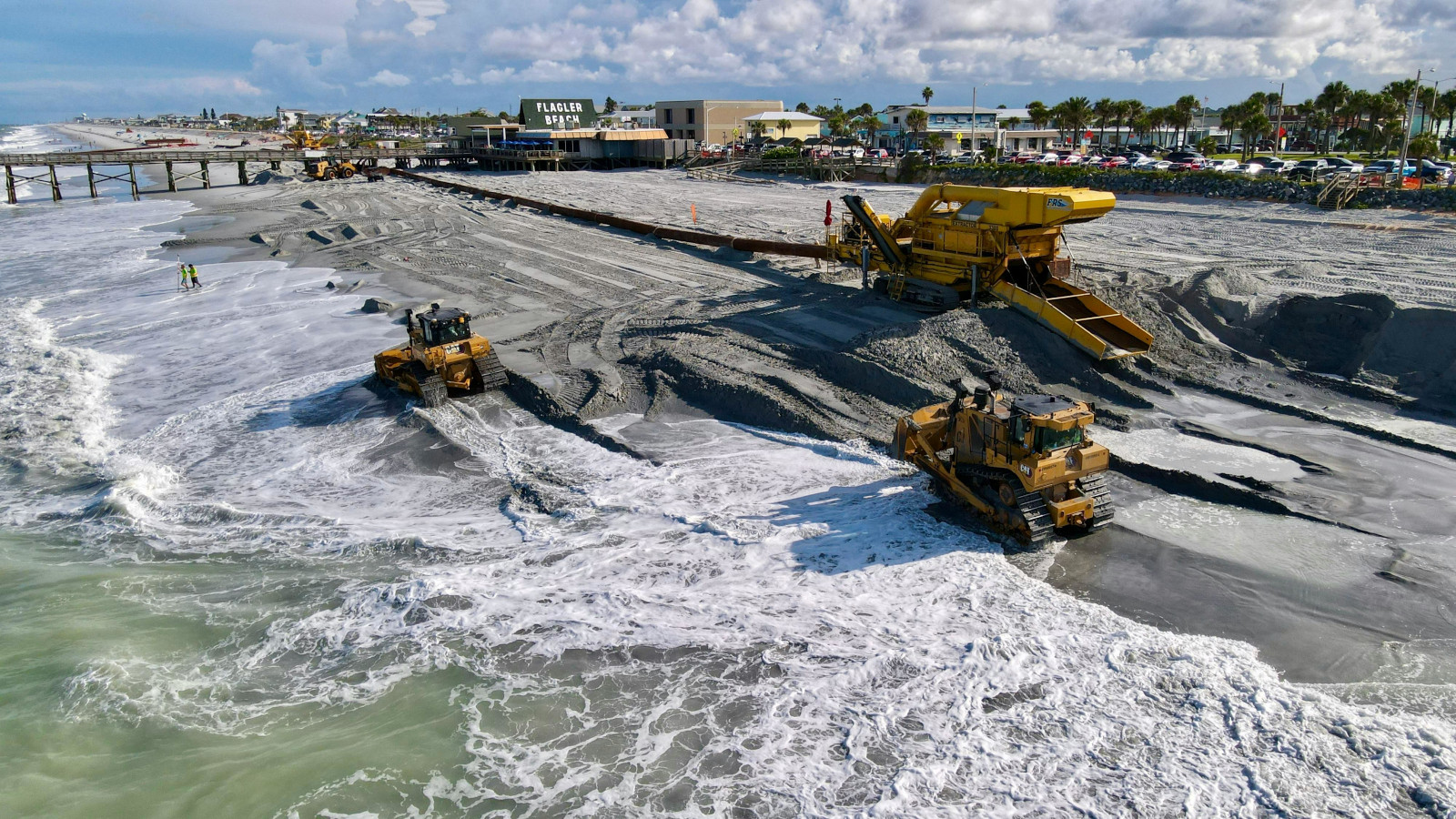
Aerial drone imagery offers a powerful perspective on coastal environments. From monitoring shoreline erosion to documenting maritime terrestrial projects, these images provide critical insights into landscape changes and the impact of human activity. By capturing precise, up to date visuals, drone data helps engineers, planners, and environmental teams make informed decisions and track progress safely and efficiently. You can document changes in the sand, movements of mitigation or restoration machinery, and compare the coastline across different dates for erosion studies.